
Latest Version
12.0
June 19, 2025
Danny Ko
Travel & Local
Android
0
Free
com.californiatrafficcam.app
Report a Problem
More About California Traffic Cameras
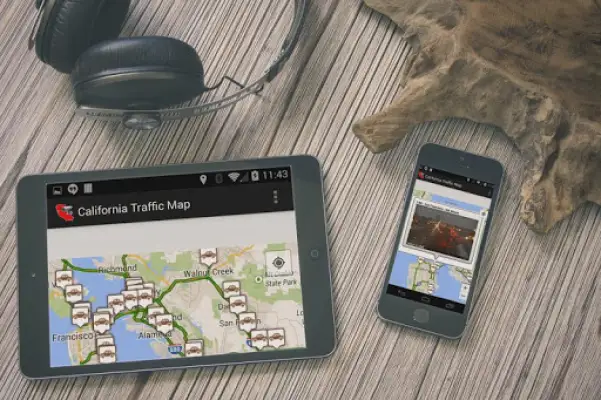
This application is designed to help users save time and reduce stress when traveling in California by providing real-time traffic information. It displays a map featuring live cameras across the state, allowing users to see current traffic conditions and avoid accidents or congested areas. Whether you're rushing to catch a flight at San Francisco International Airport or heading to the San Diego Zoo, this app helps you navigate more efficiently.
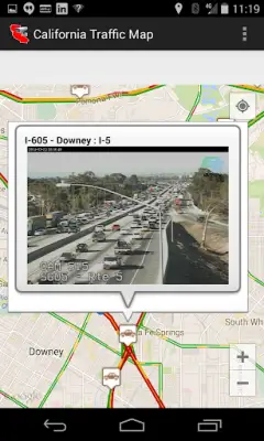
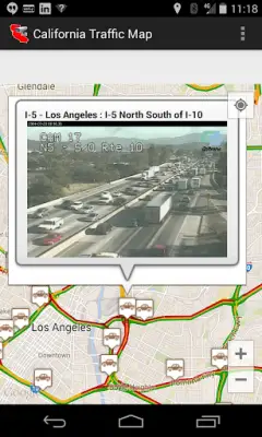
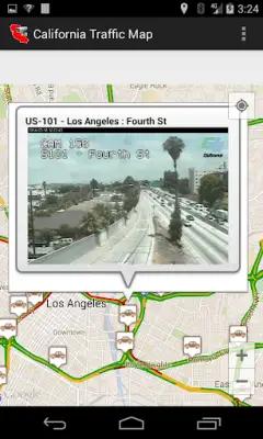
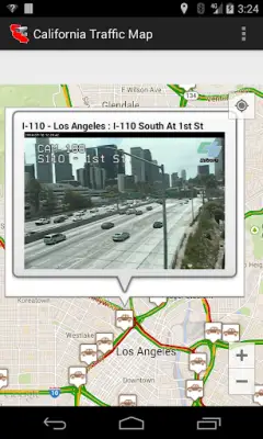
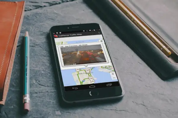
Users can view traffic cameras pinned to specific locations on a detailed Google map, offering instant visual updates of traffic flow along major freeways and highways including Los Angeles, San Francisco, Sacramento, and Fresno. The app integrates real-time camera feeds from the California Department of Transportation, giving an accurate picture of current road conditions. It also provides live weather updates, allowing travelers to stay informed about weather-related road issues that may affect their journey.
The app emphasizes ease of use by enabling users to select their current location and quickly access, via markers, the live feeds of traffic cameras nearby. This feature assists drivers in determining if they should avoid certain routes or delays. Though it does not host the live camera feeds itself—since that responsibility lies with the California Department of Transportation—it gives users a comprehensive view of traffic scenarios throughout California, making travel planning more precise and convenient.
Despite its usefulness, the app notes that loading the map may take some time, especially with slow internet connections, as it loads a substantial number of camera feeds—around 1000 across California. It encourages users to rate the app positively if they find it helpful. Overall, this application aims to enhance commuting and travel experiences by providing the most extensive and updated information about California's traffic and weather conditions, helping users avoid delays and enjoy smoother journeys.
Rate the App
User Reviews


Popular Apps