
Latest Version
3.3
March 02, 2025
Neave Interactive
Weather
Android
1
Free
com.neave.zoomearth
Report a Problem
More About Zoom Earth - Live Weather Map
Zoom Earth is an innovative interactive platform that provides users with up-to-date weather information and a real-time tracking system for hurricanes around the globe. The application allows users to explore current weather conditions and forecast data through visually dynamic and interactive maps that include various meteorological factors such as rain, wind, temperature, pressure, and more. This utility enables individuals to stay informed about the latest weather developments in their specific locations as well as across different regions worldwide.
One of the standout features of Zoom Earth is its near real-time satellite imagery. The application sources images from several geostationary satellites, such as NOAA GOES and JMA Himawari, with updates occurring every 10 minutes. Additionally, the data from EUMETSAT Meteosat is refreshed every 15 minutes, while high-definition images from polar-orbiting NASA satellites, Aqua and Terra, are updated twice a day. This frequent updating ensures that users receive current and relevant visualizations of weather conditions.
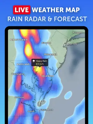
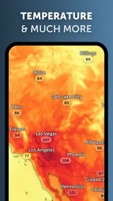
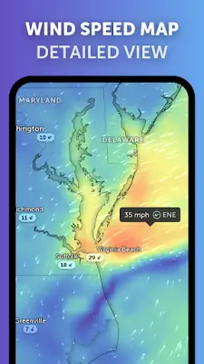
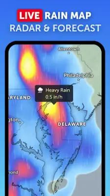
Moreover, Zoom Earth is equipped with advanced weather radar capabilities, allowing users to track rain and snow in real time. Utilizing ground-based Doppler radar, the app provides instant short-term weather forecasts through a process called radar nowcasting. This functionality helps users anticipate incoming weather conditions effectively. The application also features comprehensive weather forecast maps, showcasing precipitation, wind speed, temperature, humidity, and atmospheric pressure, providing a complete view of the meteorological landscape.
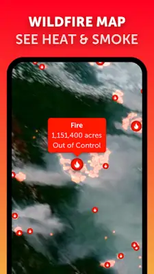
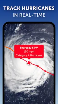
In addition to general weather tracking, Zoom Earth offers specialized features for monitoring hurricanes and wildfires. Users can follow the progression of hurricanes with detailed information sourced from reliable channels, while wildfire tracking overlays allow for observation of active fires and heat spots detected by satellite. The customization options available in Zoom Earth enable users to adjust various settings, and a premium subscription service, Zoom Earth Pro, offers even more features for those who desire an enhanced experience. Through these capabilities, Zoom Earth emerges as a crucial tool for effective weather monitoring and preparation.
Rate the App
User Reviews


Popular Apps