Latest Version
7.0.1
January 02, 2025
goHUNT LLC
Maps & Navigation
Android
5
Free
com.gohunt
Report a Problem
More About GOHUNT / Hunt Research & Maps
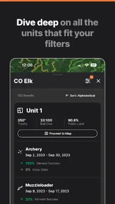
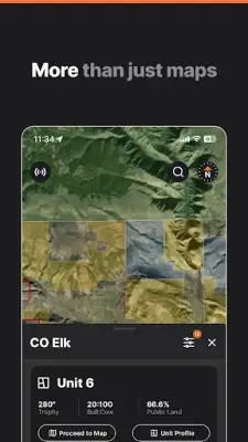
The hunt research platform is designed to assist hunters in locating the units they can draw tags for, enhancing their chances of success. Users can easily select a state and the species they wish to hunt, allowing them to filter options according to various criteria. Factors such as draw odds, the availability of public land, historical harvest success, and other customized parameters can be set, ultimately resulting in a curated list of hunting units that meet the specified requirements. This feature is particularly beneficial for hunters aiming to maximize their opportunities based on past performance and land access.
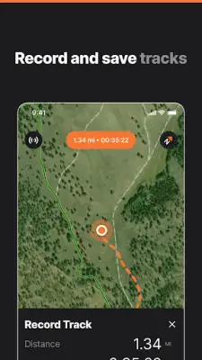
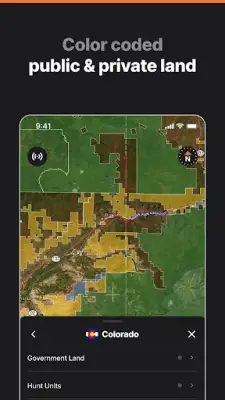
Complementing the research tools is a comprehensive mapping platform tailored for hunters in all 50 states. It caters to a wide range of needs, from essential features such as delineating public and private land boundaries to providing detailed information about waypoints, roads, and trails. For those seeking deeper insights, the platform includes advanced tools like 3D mapping and analytical features that enable users to thoroughly understand any given piece of land across the United States. This versatility makes it an indispensable resource for both novice and seasoned hunters alike.
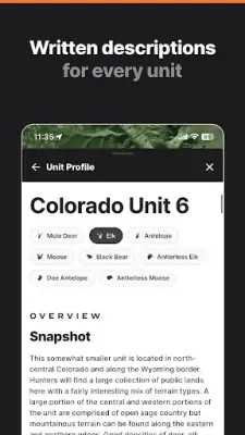
The platform offers a unified environment where all hunting-related tools are consolidated, allowing for a more efficient planning and research process. Users can take advantage of advanced search and filtering capabilities to find exactly what they need regarding hunting locations and strategies. In addition, resources like draw odds information for western states, comprehensive unit profiles, application strategies, and hunting tips are easily accessible, reinforcing the platform's role as a robust hunting companion.
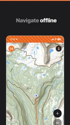
The mapping tools are extensive and include various features to support an effective hunting experience. Users can view public and private land ownership boundaries, obtain offline maps for areas without connectivity, and define hunt units and zones. The ability to share waypoints and tracks with other users enhances community interaction and collaboration. Furthermore, importing data from other mapping applications ensures that hunters can maintain continuity in their planning and navigation efforts, making the platform incredibly user-friendly and versatile.
For more advanced users, the desktop-only tools present a range of capabilities such as terrain analysis and access to a historical imagery library. Additionally, the platform rewards users with points on eligible purchases made in the GOHUNT Gear Shop, creating an incentive for continued engagement. By incorporating both practical features and a community-driven aspect, this platform stands out as a comprehensive hub for hunters seeking to improve their skills, knowledge, and success rates in the field of hunting.
Rate the App
User Reviews
Popular Apps


