Latest Version
7.5.0
January 11, 2025
ATLOGIS Geoinformatics GmbH & Co. KG
Maps & Navigation
Android
2
Free
com.atlogis.northamerica.free
Report a Problem
More About US Topo Maps
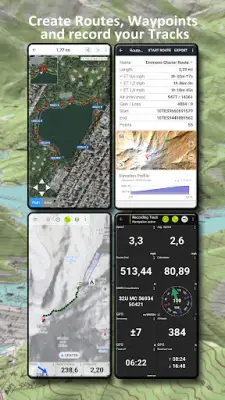
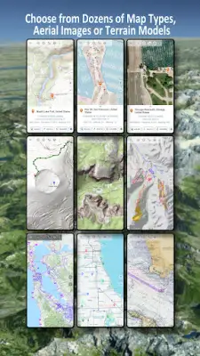
This application transforms your Android phone or tablet into a comprehensive outdoor GPS tool that allows users to plan exceptional trips by offering a selection of over 30 different map layers, including topos, aerial photographs, and nautical charts. Users can download maps for offline use, making it particularly valuable for backcountry explorations where internet connectivity may be limited. This feature enhances the experience for outdoor enthusiasts, ensuring they have access to critical navigational data even in remote areas.
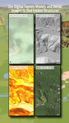
The app provides an extensive variety of basemap layers for the United States, including topographic maps from USGS, high-resolution imagery, and specialized forest maps. Users can choose from various scales depending on their needs, from detailed 1:24,000 maps to broader 1:250,000 scales. Additionally, worldwide coverage includes popular mapping services like OpenStreetMap, Google Maps, and Bing Maps, providing flexibility with different mapping styles such as satellite images and terrain layouts.
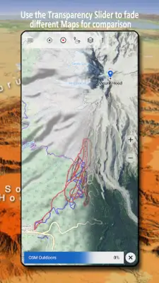
In addition to its rich map offerings, the application allows users to add maps from various external sources, including raster maps and online mapping services, enabling a high degree of customization. It supports imports from formats like GeoPDF and GeoTIFF, and users can even integrate additional layers of information such as public land ownership and hydrographic datasets for the U.S. This extensive customization helps users find specific routes and understand the terrain better, enhancing safety and enjoyment during outdoor activities.
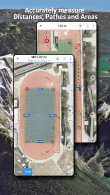
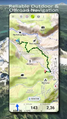
Furthermore, the application is equipped with an array of essential navigation features designed specifically for outdoor activities. Users can measure distances, create and edit waypoints, and employ GoTo navigation for precise routing. Tracking capabilities include recording speed and elevation, while also allowing for the import and export of GPS data in formats like GPX and KML. Whether hiking, biking, or engaging in search and rescue operations, this app serves as an invaluable tool, ensuring that adventurers can plan and navigate their journeys effectively while remaining informed about weather conditions through features like animated NEXRAD rain radar.
Rate the App
User Reviews
Popular Apps


